





Slope online monitoring system
1. Monitoring Background
For a long time, the safety monitoring technology of slopes in China has been a weak link in highway construction. Due to the lack of systematic research on safety monitoring technology and mature experience for design departments to apply, only the protection technology of low-grade highways or the experience of other departments can be used to implement local protection. The lack of comprehensive consideration has caused huge economic losses and adverse social impacts, and some even interrupted traffic. The national and local governments have made specific regulations on the health monitoring of slopes, such as Article 3, paragraphs 1 and 2 of the Interim Regulations on Slope Management of Open pit Coal Mines, which stipulate that slope management work is included in the agenda of safety supervision and is responsible for business security. Based on the annual plan and design, as well as decisions and measures for slope stability, make arrangements and conduct supervision and inspection during safety inspections.
II. System Overview
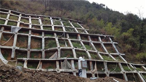
In recent years, slope safety incidents have occurred frequently. In order to timely understand the operation of slopes, provide early warning for sudden accidents, and monitor slope safety, it is urgent! The freesun Technology Slope Online Monitoring System can continuously monitor the surface displacement of slopes, internal displacement of soil, rainfall, soil moisture content, water level changes, etc. in real time, make judgments on the overall stability before disasters occur, and quickly make early warning and forecasting of disasters.
III. Main Monitoring Contents
1. Surface displacement monitoring: GNSS host
2. Internal displacement monitoring: series fixed inclinometer
3. Mining stress: Embedded strain gauge
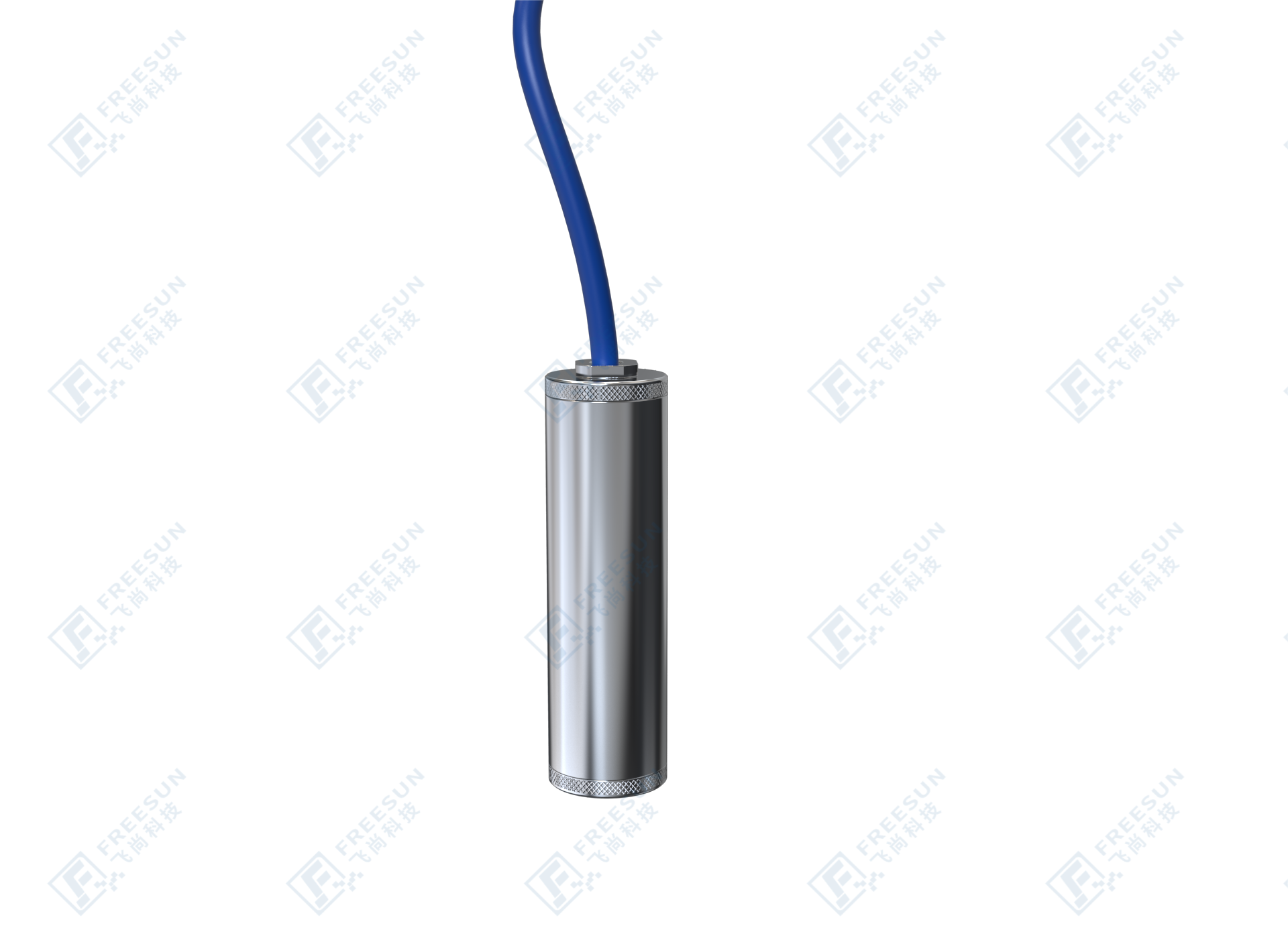
4. Permeation pressure monitoring: Pore water pressure gauge
5. Groundwater level monitoring: Pore water pressure gauge
6. Video monitoring: Infrared network ball machine
7. Rainfall: Rain gauge
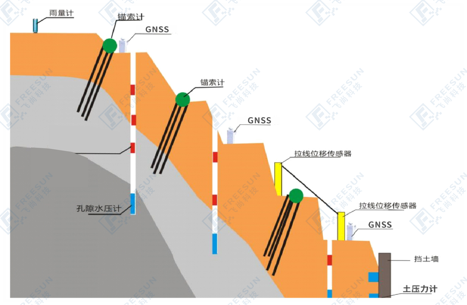
IV. Monitoring Diagram
V. List of Monitoring Projects
| Monitoring item | Device name |
| Rainfall monitoring | Rain gauge |
| Surface displacement monitoring | GNSS |
| Relative displacement monitoring | Cable type displacement sensor |
| Internal displacement monitoring of soil | Series fixed inclinometer |
| Groundwater level monitoring | Pore water pressure gauge |
| Monitoring of retaining wall inclination | Box type fixed inclinometer |
| Monitoring of retaining wall cracks | Crack gauge |
| Lateral pressure monitoring of retaining wall | Soil pressure gauge |
| Axial force of anchor rod (cable) | Reinforcement meter, anchor cable meter |
VI. Monitoring Basis
(1) Code for Investigation of Slope Engineering (YS/T 5230-2019);
(2) Code for Monitoring of Geotechnical Engineering (YS/T 5229-2019);
(3) Technical Code for Building Slope Engineering (GB50330-2013);
(4) Code for Investigation of Geotechnical Engineering (GB50021-2001);
(5) Quality Inspection and Evaluation Standards for Highway Engineering (JTG F80/1-2017);
(6) Global Positioning System (GPS) Measurement Specification (GB/T 18314-2009);
(7) Reliability and Maintainability Management of Computer Software (GB/T14394-2008);
(8) Engineering Geological Hazard Risk Assessment Report
(9) Seismic Safety Assessment Report for Engineering Sites
(10) Geotechnical Engineering Survey Report
(11) Other materials or relevant specifications
(12) Opinions on Promoting the Digital Transformation of Highways and Accelerating the Development of Smart Highway Construction, Ministry of Transport of the People's Republic of China, September 2023;
7. Implement Functions
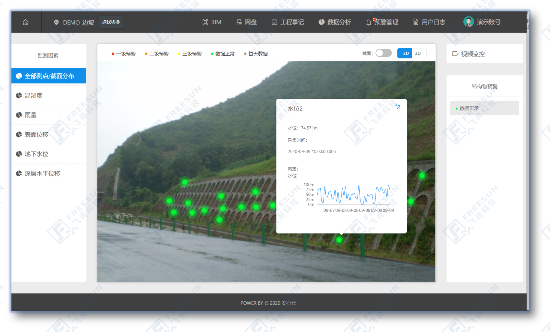
1. Display of full life cycle monitoring data: The system integrates slope construction monitoring data content, automatically monitors the deformation, environment, etc. during the operation period of the slope online, and stores and analyzes the data to achieve full life cycle monitoring of the tunnel;
2. Data display during the operation period: including conventional data storage, report download, and data display, the system uses BIM+GIS and aerial surveying technology to display the three-dimensional model of the slope, and display relevant monitoring content and numerical changes;
3. Grading warning: Set different warning levels according to requirements. When data is abnormal, automatic warning information will be triggered according to the settings, including platform push, SMS, and email notifications to the corresponding person;
4. Accumulate slope condition data: provide necessary decision-making basis for long-term operation, maintenance, repair, and reinforcement of slopes, and provide guidance for slope safety in case of emergenciesProvide a basis for assessing the safety status after birth;
5. Provide reference basis: Verify the design and construction theory and construction technology of slopes, in order to improve the technical regulations for slope design and construction under relevant geological conditions, and ensure the safety of slope use.