





1. Monitoring Background
Geological disasters originate from the catastrophic damage to the geological environment caused by natural and human geological processes, mainly including collapses, landslides, mudslides, ground collapses, and ground fissures. China has complex and diverse geological disasters, with frequent occurrences, making it one of the countries with the most severe geological hazards in the world. In recent years, research on landslides and debris flows has been a focus of industry research. To enhance the awareness of disaster prevention and reduction in the whole society, reduce casualties, maintain social stability and normal production and living order, improve people's quality of life, promote the comprehensive development of economic construction and various social undertakings in areas with severe geological disasters, and enable the people to live and work in peace and contentment, it has become an urgent task to do a good job in geological disaster warning and forecasting.
II. System Overview
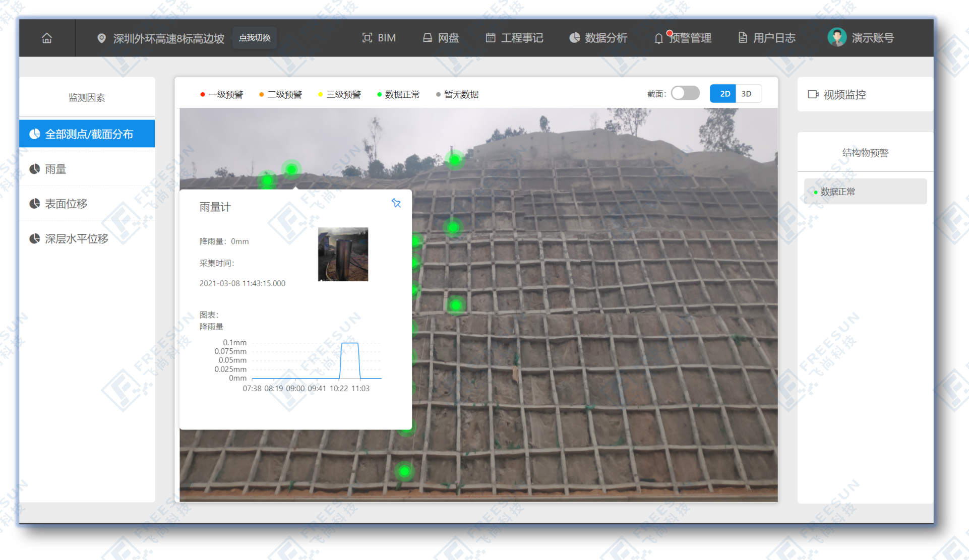
By systematically constructing a sensor neural network, comprehensively analyzing the status of geological disasters, and issuing warnings for areas exceeding the safe state, the scientific, information-based, automated, and visualized management of geological disaster prevention and control can be achieved. To provide scientific basis for disaster prevention and reduction decision-making, and lay the foundation for improving the quality, efficiency, and management level of geological disaster prevention and control work.
III. Monitoring Diagram
IV. List of Monitoring Projects
| Monitoring item | Device name |
| Surface displacement monitoring | Integrated GNSS monitoring system |
| Crack monitoring | Integrated surface displacement monitoring system |
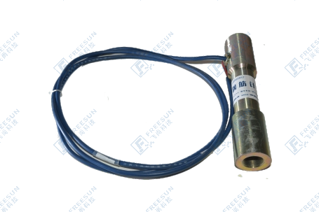
| Deep displacement monitoring | Integrated deep displacement monitoring system |
| Groundwater level monitoring | Integrated pore water pressure monitoring system |
| Soil moisture content | Integrated soilSoil temperature and humidity monitoring system |
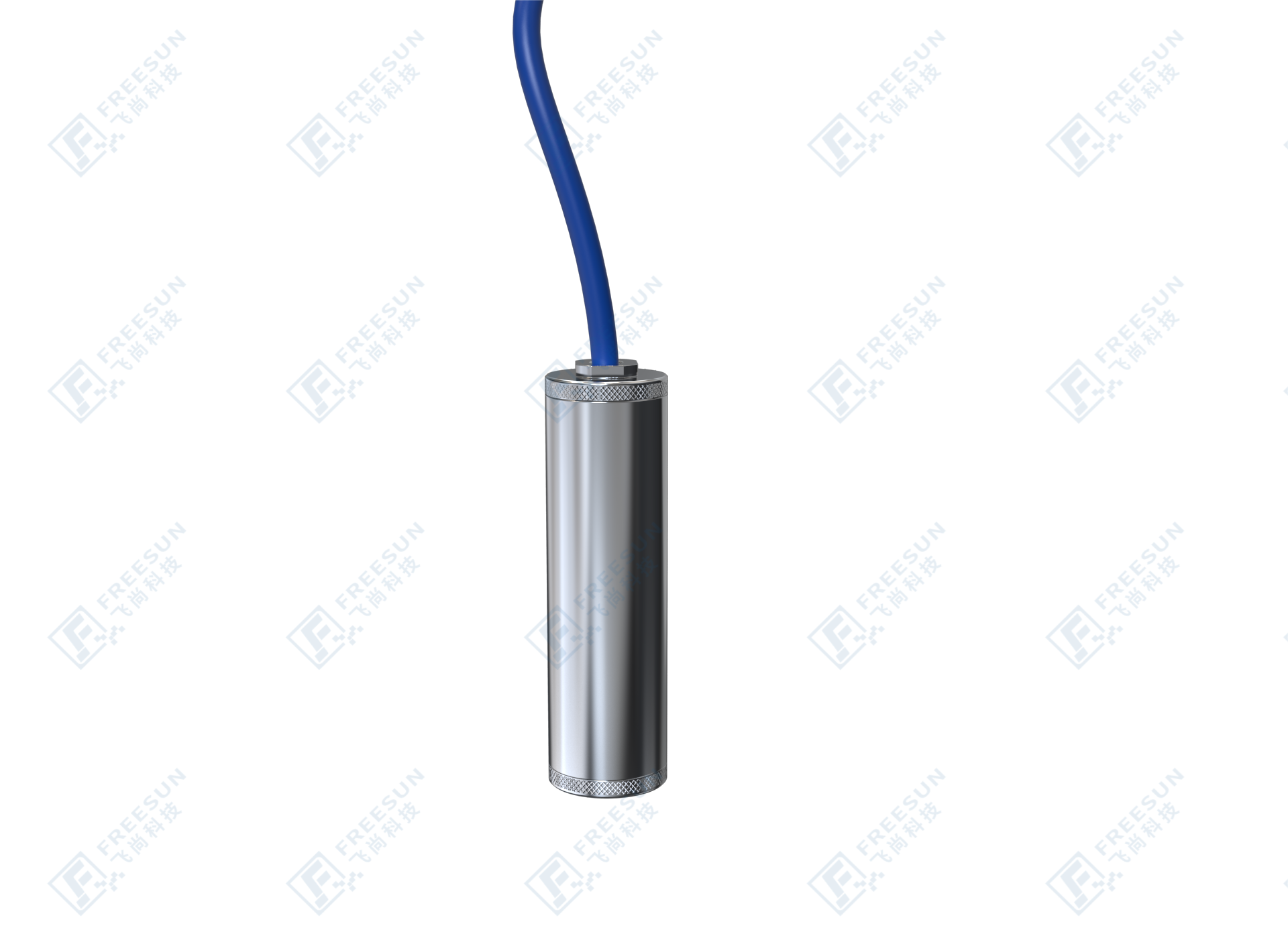
| Rainfall | Integrated rainfall monitoring system |
| Video surveillance | Integrated video surveillance system |
| Mud water level | Mud level monitoring device |
Fifth, Monitoring Basis
(1) Monitoring Specification for Collapse, Landslide, and Mudflow (DZ/T0221-2006);
(2) Specification for Monitoring and Measurement of Landslides and Collapse (DZ/T0227-2004);
(3) Design and Construction Technical Specification for Landslide Prevention and Control Engineering (DZ/T0219-2006);
(4) Exploration Specification for Debris Flow Disaster Prevention and Control Engineering (DZ/T0220-2006);
(5) Design Specification for Debris Flow Disaster Prevention and Control Engineering (DZ/T0239-2004);
(6) Technical Code for Building Slope Engineering (GB50330-2002);
(7) Specification for Fine Investigation of Landslide, Collapse, and Mudflow Disasters (DZ/T 0448-2023);
(8) Specification for Investigation of Landslide Prevention and Control Engineering (DZ/T0218-2006);
(9) Engineering Surveying Standards (GB 50026-2020);
(10) Regulations for Geological Hazard Risk Assessment of Construction Projects (DB45/T 382-2007);
(11) Regulations for Geological Hazard Risk Assessment (DB45/T 1625-2017);
(12) Geological Hazard Prevention and Control Engineering Exploration Specification (DB50/T 143-2018);
(13) Technical Regulations for Construction of Geological Disaster Prevention and Control Engineering (DB42/T 911-2013);
(14) Technical Specifications for Groundwater Environmental Monitoring (HJ 164-2020);
(15) Technical Specification for Construction of Groundwater Monitoring Stations (SL360-2006);
(16) Code for Acceptance of Integrated Cabling System Engineering (GB/T 50312-2016);
(17) Test Method for Lightning Strike of Electronic Equipment (GB/T 3482-2008);
(18) Computer Site Security Requirements (GB/T 9361-2011);
(19) Reliability and Maintainability Management of Computer Software (GB/T 14394-2008);
(20) Technical Code for Building Slope Engineering (GB 50330-2013);
(21) "Specification for Fine Investigation of Landslide, Collapse and Mudflow Disasters" (DZ/T 0448-2023);
(22) Technical Specification for Combined Monitoring and Early Warning of Geological Hazards, December 2021;
(23) Requirements for Communication Technology for Geological Hazard Monitoring, December 2021;
Sixth, Implement Functions
1. Through an automated monitoring platform, help management units achieve geological information security monitoring and process management, no longer affected by weather. Once a warning occurs at any location on site, the situation can be monitored through video surveillance and monitored accordinglyPolice level, adopting different alarm methods, and combining with relevant responsible units to take emergency response measures in a timely manner, evacuating crowds, transferring in a timely manner, and reducing the occurrence of accidents and disasters.
2. Implement a multi-level warning and alarm mechanism from province city county township, provide emergency plans after warning, and achieve the integration of disaster monitoring, warning, and response. Real time long-term automated monitoring to prevent major geological disasters such as landslides and mudslides, reduce economic losses, and maintain social stability.