




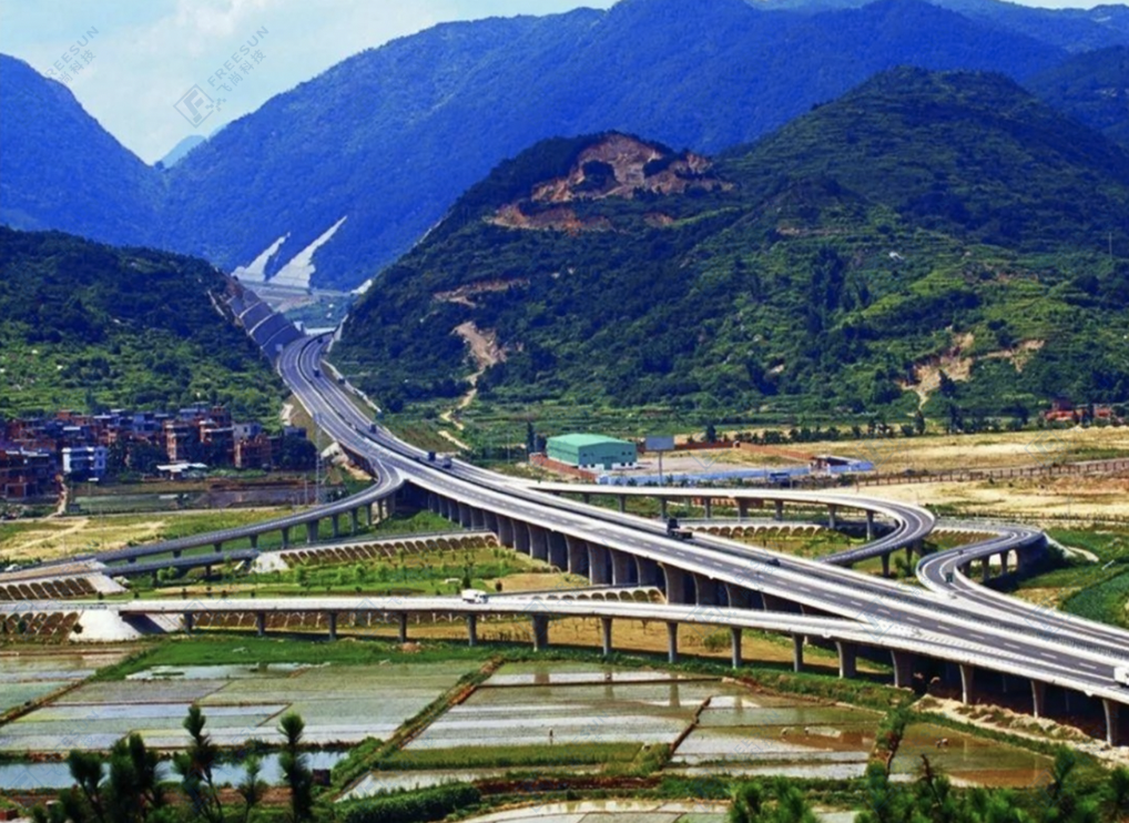


Liuqian Expressway Slope
1、 Project Overview
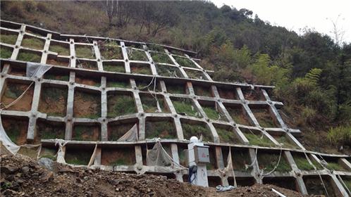
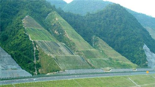
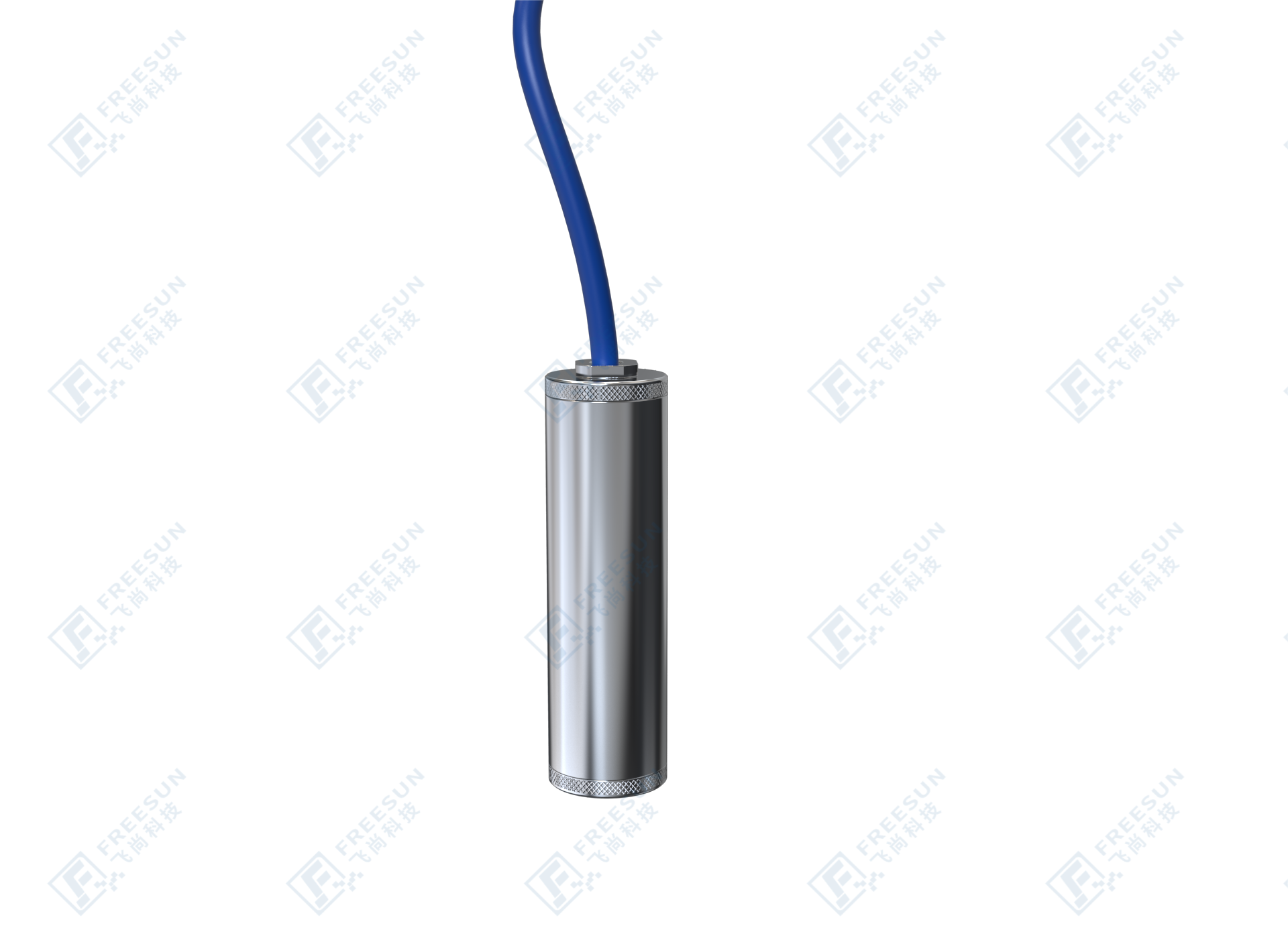
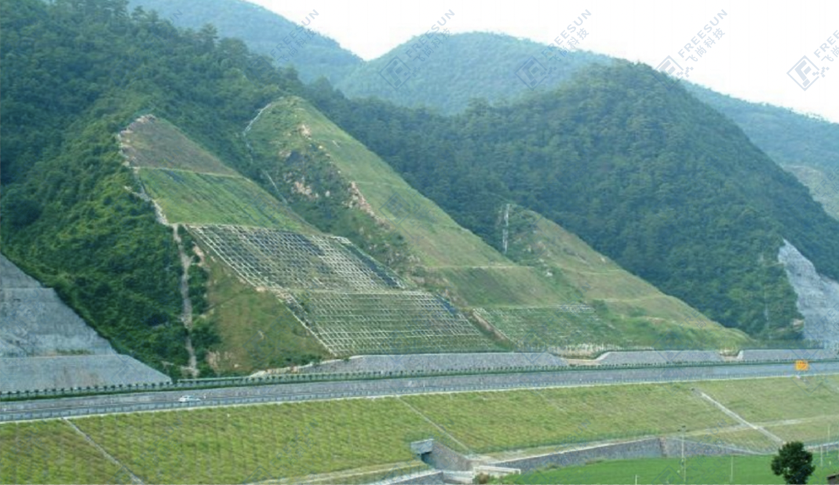
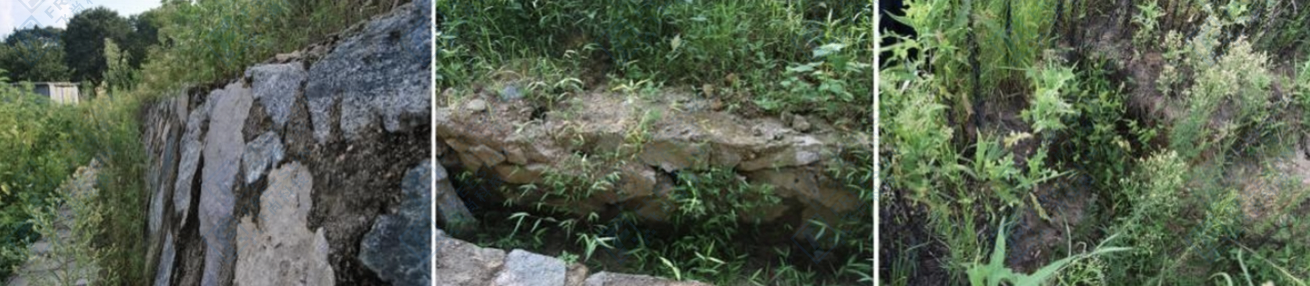
The demonstration project route for monitoring the high slope of the Liuqian Expressway is located on the left side of the K775+432~K775+682 section, which is a filled roadbed. The slope of the filled roadbed adopts a multi-level stepped shape, with a slope ratio of 1:1.5 within 8.0m below the edge of the roadbed, 1: 1.75 between 8.0m and 16.0m, and 1:2 above 16.0m. Variable slope platforms with a width of 2.0m and reinforced with M7.5 mortar rubble are set up at 8m and 16m. The slope has been protected by drainage channels and retaining walls, but the drainage channels have been washed away multiple times, and the surface soil in some areas has been washed away by rainwater, resulting in serious soil loss and the formation of small pits. The retaining wall has serious water seepage and multiple cracks. The products suitable for six submerged slopes mainly include guide wheel fixed inclinometers, GNSS surface displacement automatic monitoring and warning systems, pore water pressure gauges, rain gauges, surface displacement monitoring reference stations, multi-channel vibrating wire acquisition instruments, vibrating wire acquisition systems, etc.

Project site map
2、 Construction content
Based on on-site investigation and combined with the actual conditions and needs of the project, four monitoring systems were designed for the landslide monitoring and early warning system: automatic monitoring system for precipitation, automatic monitoring system for surface displacement of landslide body, automatic monitoring system for deep displacement of landslide body, and automatic monitoring system for seepage pressure of landslide body.

Overall schematic diagram of slope monitoring
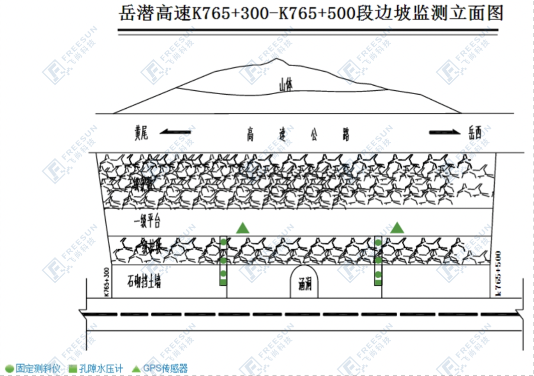
Monitoring elevation view
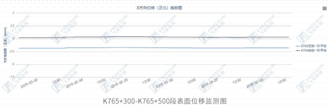
Various operation and maintenance service reports
2、 By using Beidou high-precision monitoring instruments to monitor the safety of slope structures, long-term, stable, and uninterrupted operation of slopes can be achieved. Data transmission and release are confidential and reliable, truly achieving unmanned operation, peace of mind, and peace of mind;
3. Implement remote data transmission, remote status browsing, remote system settings, as well as data management, user management, security management, and other functions;
4、 The remote monitoring and decision-making management system for landslide disasters can integrate multiple monitoring parameters, couple analysis, and intelligently draw, issue multi-level warnings based on the evolution characteristics of landslide bodies, and enable decision-makers to take response measures according to the warning level to ensure the safe operation of highways.