




Inner Mongolia Bayern Tailings Pond
更新时间: 2026年5月28日 点击次数:16506
Inner Mongolia Bayern Tailings Pond
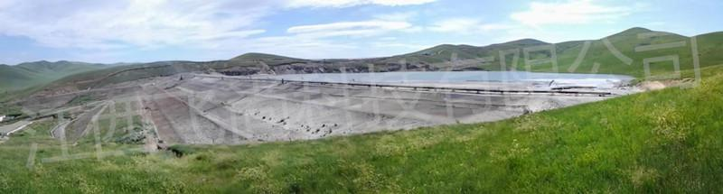
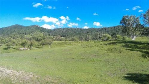
The Bayern Mining Area in Inner Mongolia is located in Baiyinchagan Sumu, Keshiketeng Banner, Chifeng City, Inner Mongolia Autonomous Region. Provincial Highway S204 passes through the mining area 20 kilometers east, with convenient transportation.
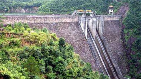
The tailings pond is located in a ditch about 1800 meters away from the mining plant, and the initial dam type of the tailings pond is a permeable rock fill dam. The maximum height of the primary dam is designed to be 17m, with a primary dam crest elevation of 1268 meters and a dam length of approximately 234m. The design of the stacking dam adopts waste rock stacking and compaction to build the dam. The final dam height of the stacking dam is 30m, with a final dam crest elevation of 1298m and a dam length of approximately 500m. Currently, the total dam height of the tailings pond is approximately 34.5m, with a dam length of approximately 350m. The effective storage capacity of the tailings pond is less than 2.85m3, and it is determined to be a fourth class pond.
Based on the needs of the owner and the actual project situation, our company has established a one-stop safety monitoring solution for the tailings pond by fully exploring the site and combining it with theactual geological conditions.
The online safety monitoring system for tailings pond consists of 7 subsystems and 9 sub items, including the following subsystems and contents:
1. Surface displacement monitoring subsystem of dam body;
2. Internal displacement monitoring subsystem of the dam body;
3. Infiltration line monitoring subsystem;
4. Reservoir water level monitoring subsystem;
5. Gantan Automated Monitoring Subsystem;
6. Video surveillance subsystem;
7. Rainfall monitoring subsystem;
8. Data transmission network;
9. Central control room (dispatch room software and hardware).